How To
Summary
There are three tools that appear in the Map tool bar, inside the Selection box, Update Map List, Update Application List and Merge.
The three buttons will modify the list of GIS entries displayed.
Objective
The aim is to clarify what is displayed when the button is pressed compared to what is visible in the Map at the time.
Environment
This is pertinent to Maximo 7.6.x environments
Steps
For example lets use the Assets Application.
From the List View page we shall display all Assets that start with HYD% in Bedford. We know these are GIS linked assets, so the ISGis=Yes.
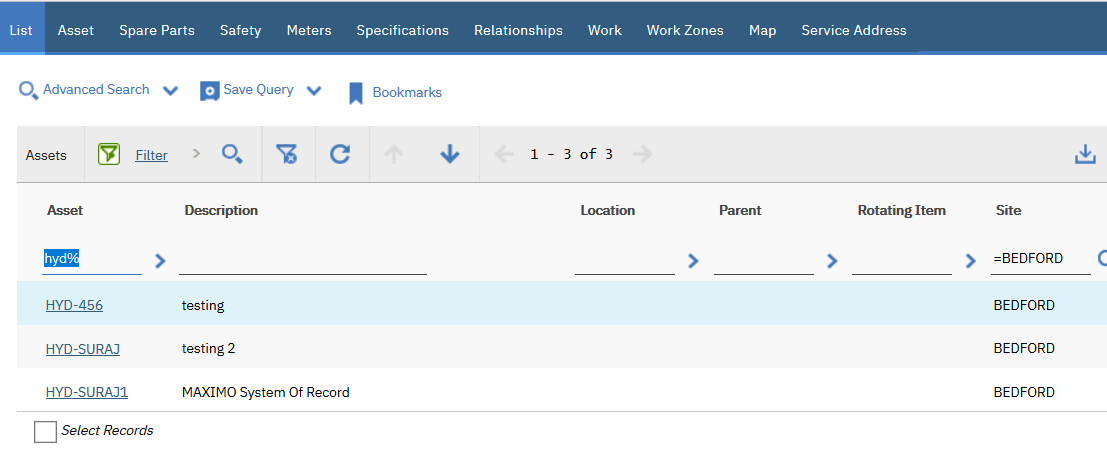
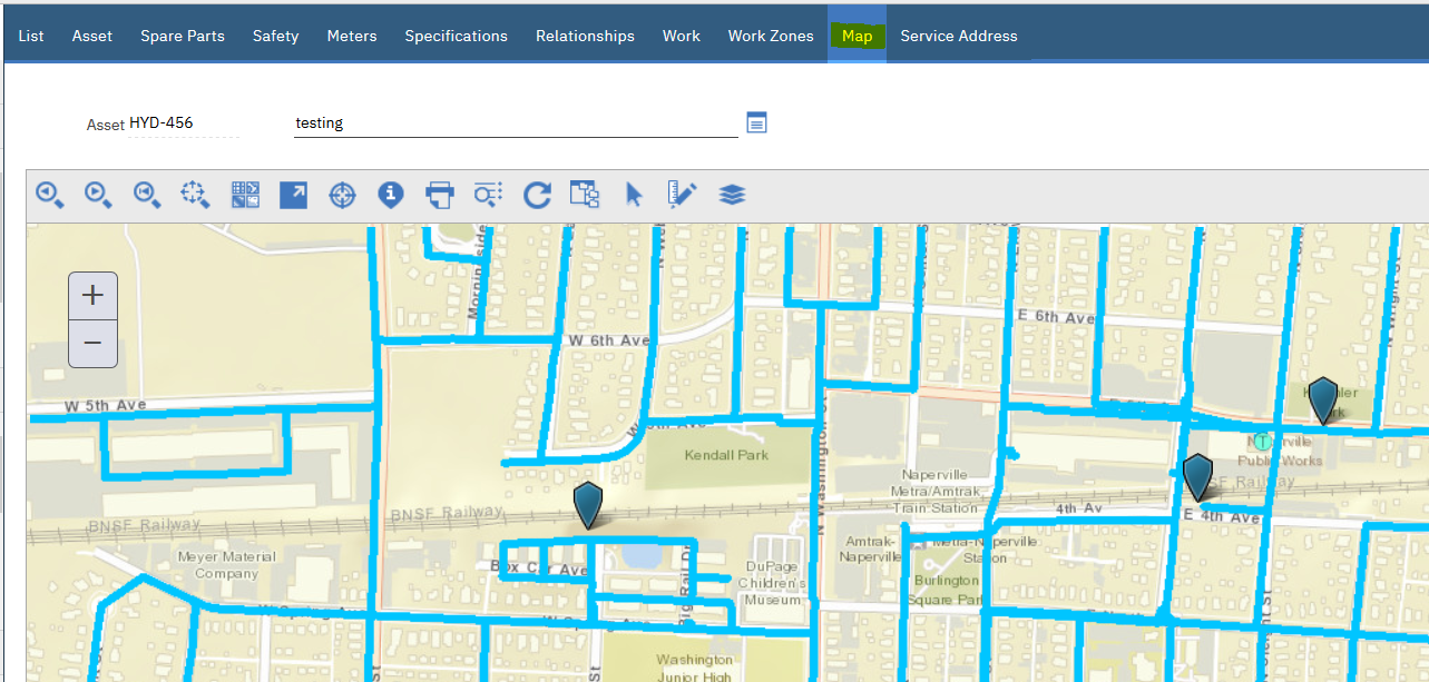
There are three Assets and consequently in the Map tab they are displayed.
Using the Selection Tool an area can be marked in the map which will show its contents in the Results popup window.
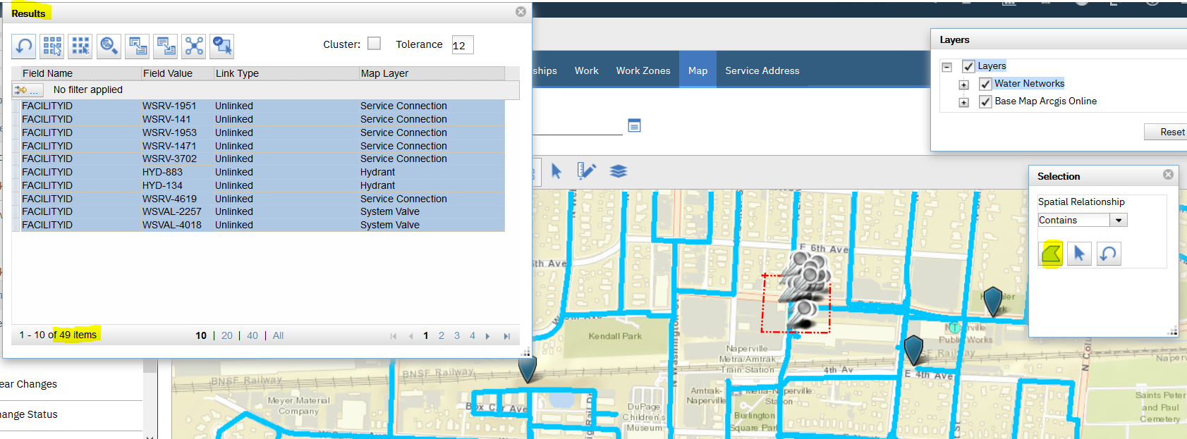
The initial Selection of the area, brought back 49 records into the Results window.
Now if the Merge button is pressed, it will bring back the 3 assets from the Assets List View and add them to the 49 in the Results window.
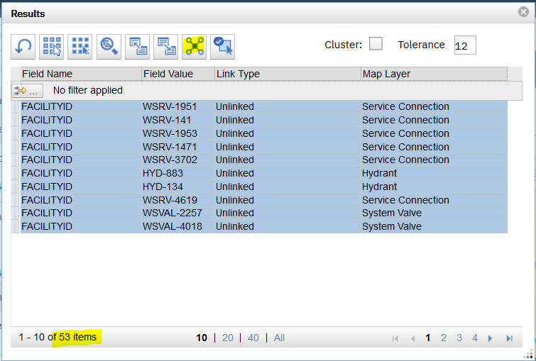
In Summary the Merge tool functionality will add the entries from the Asset List View to the Assets in the area selected in the Map.
Related Information
Was this topic helpful?
Document Information
Modified date:
04 December 2018
UID
ibm10743863